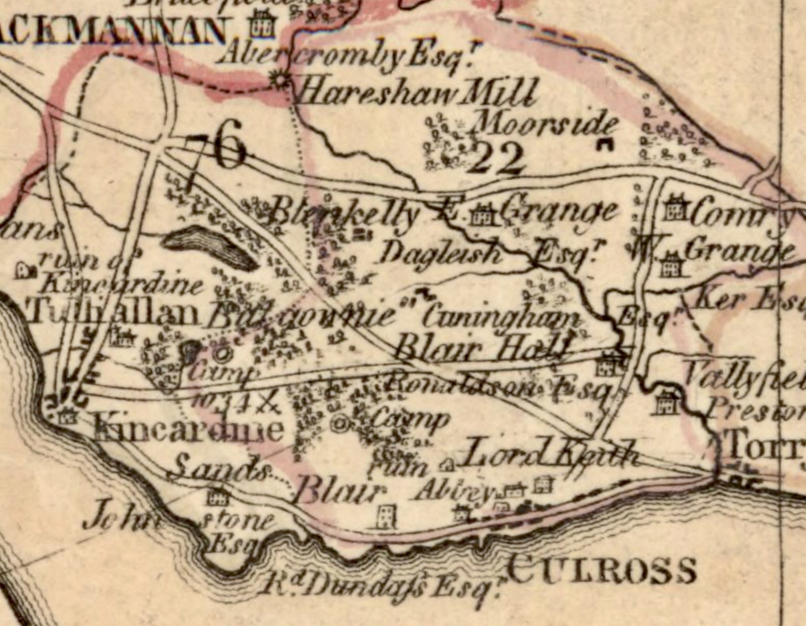
Route image: extract from James Stobie, The Counties of Perth and Clackmannan (1783). CC BY 4.0 International licence. National Library of Scotland.
Kincardine-on-Forth, to give the village its full title, sits on the north bank of the river in the most south westerly corner of Fife. Originally named West Pans, in the parish of Tollyalwyn (Tulliallan), it was founded as a Burgh of Barony in 1663. It was originally built on marshland reclaimed with coal ash from the local salt panning industry and developed as a river port trading in salt and coal, and as a centre of ship building. By the early 18th century there were 5 boats based at the port and this had increased to 91 by the early 19th century. Trade prospered and the port was trading not just in coal, and salt but also salmon and stone and importing wood, iron, flax, linseed and barley specifically for the local distilleries. The bulk of the trade was on the Mediterranean and Baltic seas but also places much further afield such as the West Indies and Australia.
By the end of the 19th century competition from iron-built ships began to take its toll and despite the arrival of the railway the boat building and the associated industries began to decline. Kincardine witnessed further change in the 20th century with the opening of the bridge in 1936, in the 1950s Tulliallan Castle was converted to a police college and two power stations were constructed east and west of the village, Kincardine in 1960 and Longannet in 1973 together with a drift mine where coal was brought to the surface via an innovative underground conveyor that linked the Bogside, Castlebridge, Solsgirth and Castlehill collieries.
The village retains many Scottish vernacular buildings from the 17th, 18th and early 19th centuries and these form the focus of the walk. Many of the buildings that you will visit are private residences. Please respect the privacy of the owners.
Your journey is circular around 4 km (2.5 miles) and almost entirely on pavements or metalled roads. There are some gentle slopes, and the route is suitable for buggies and bikes. Please be aware that a section of the walk is in the grounds of Tulliallan Police College and there is a) constant CCTV monitoring, b) access may be prevented at short notice for operational reasons (the gate will be locked) and c) you may be stopped and asked to prove your identity.
The walk takes its name from what the old sailors used to call their circular route round the village to stretch their legs from when Kincardine was a thriving port. It alludes to the lengthy and treacherous sea route round Cape Horn. The ‘horn’ in question on their village wander is Blackhall Lodge and Gates where they turned around. You will visit this point on your journey.
Public toilets are provided by William Hill Bookmakers on the High Street, and there are several opportunities for refreshments, opening times and locations are marked on the route map.
Open the walk on any device, or download a hard copy, then tap the start icon to begin your journey. Every route has real-time tracking and simple directions at each point of interest, and you can toggle between map and satellite view to get a better understanding of the landscape.
Researched and created by members of the Kincardine Local History Group, with special thanks to Willie Anderson for sharing his memories and pictures, to Kincardine Library for providing the space to work and for putting up with the noise, and to the Eco-Museum of Mining Landscapes for hosting the route.